


More than three decades after the peace deal that ended the war in Bosnia and Herzegovina, Armin Graca’s photographs and materials found in archives show how the former frontline still has an impact on people’s lives.
 Armin Graca



In fact, a sub-heading in the Sarajevo newspaper, tucked beneath the optimistic headline, acknowledged the glaring contradiction: Bosnia and Herzegovina would remain whole, but divided.
Thirty years later, I am still photographing the line that agreement produced.
For years, I visited places where the Inter-Entity Boundary Line, IEBL, passes, between the mainly Bosniak and Croat Federation entity and the predominantly Serb-populated Republika Srpska, documenting what it looks like on the ground, what it does to the spaces and people around it.
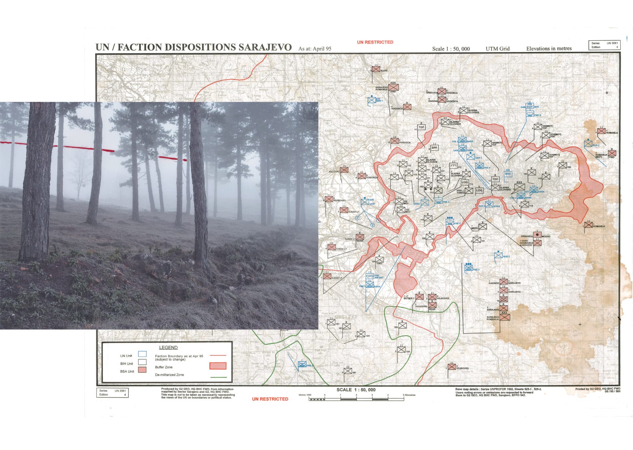
At some point, I began including archival material alongside the photographs. I wanted to understand not just where the line passes, but how it came to be there, and what it meant to the people who drew it.
The military maps I found in private archives gave me that history in layers. But it was one map in particular that changed how I understood the line: a July 1996 map from the NATO-led Implementation Force, IFOR, titled Mines, Routes and ARRC [Allied Rapid Reaction Corps] Dispositions.
On the map, approximate mined areas are shown across Bosnia and Herzegovina in magenta shading. When I looked at it, I realised the shading followed the IEBL almost exactly.
It makes sense, once you see it: landmines were planted along frontline positions, and the IEBL follows those same frontline positions. So, of course, the mine contamination follows the boundary.
I already knew the line traced the former frontline. But seeing it visualised in a map of minefields helped me understand that the boundary is not solely administrative nor only political.
In many places, it is still physically enforced by unexploded devices buried in the ground.
This is what archives offer that fieldwork alone cannot: not new facts, but new depth.
I knew the IEBL followed the frontline. I knew the war had left its mark on the land. But seeing the actual maps gave me a different understanding of what I was photographing. The archive did not change what I was photographing. It revealed the decisions behind it.