




BIRN has documented at least 25 incidents of satellite navigation interference over Serbia in the past four years, sometimes coinciding with major anti-government protests and often messing with sensitive aircraft positioning data.
 Aleksa Tesic



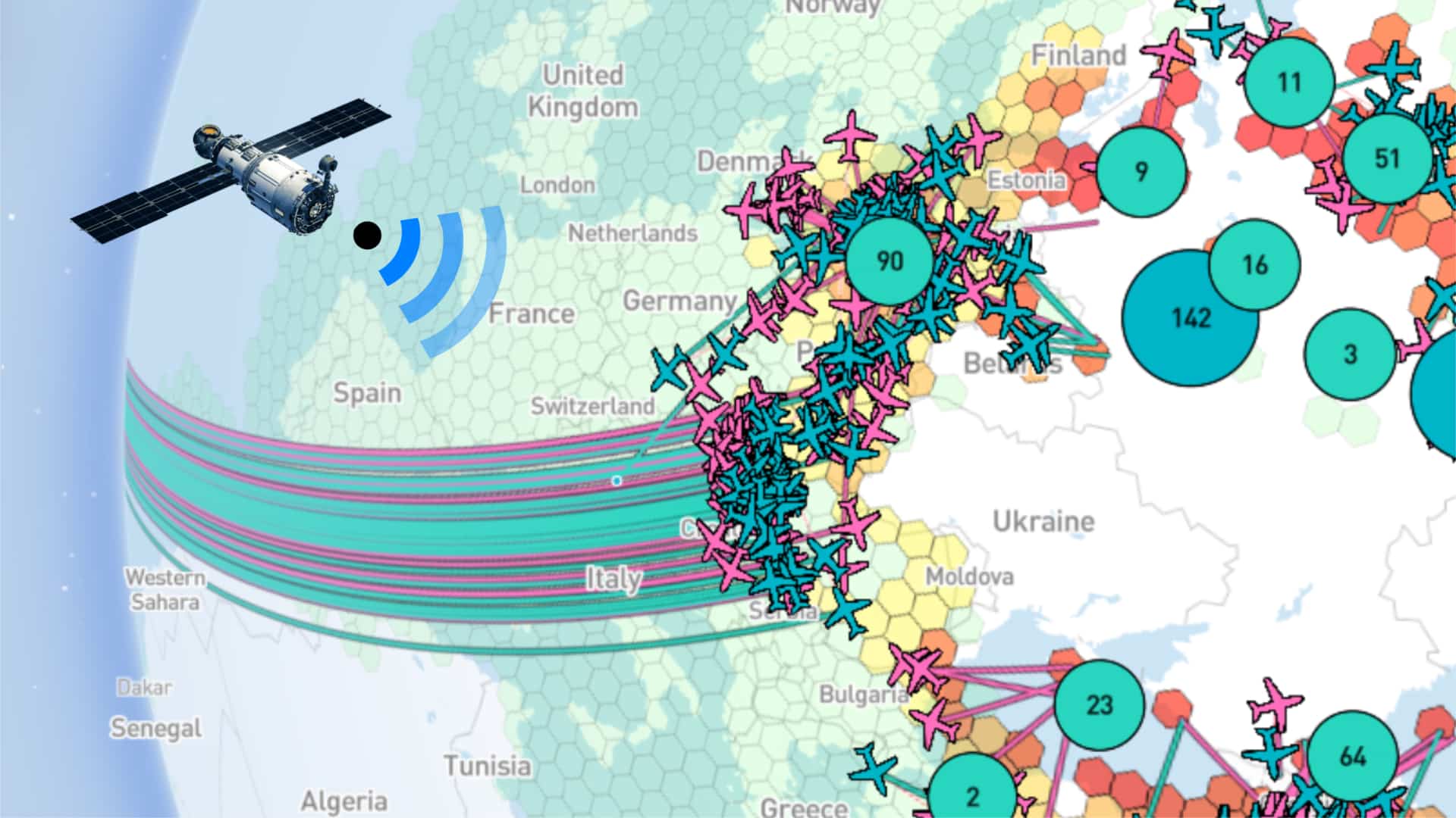
GNSS comprises four major networks: US Global Positioning System, or GPS, the European Union’s Galileo, Russia’s GLONASS, and China’s BeiDou.
They form a critical part of modern infrastructure. Besides guiding aircrafts, ships and vehicles, such systems are used in the energy sector, telecommunications, geodesy, maritime navigation, precision agriculture and numerous industrial systems that depend on accurate positioning and timing.
“It is used by almost every sector of industry,” said a radio frequency and telecommunications expert in Serbia, speaking on condition of anonymity.
“Interference can lead to the collapse of transport, the failure of telecommunications networks, problems in banking systems, while emergency services lose the ability to locate incidents quickly.”
The protest Novak took photos of, in May, wasn’t the only one where jamming and spoofing were detected.
Data from GPSwise and GPSJam show both phenomena occurred between 1 p.m. and 5 p.m. on March 15, 2025, when Serbia witnessed one of the biggest anti-government protests in its history.
According to GPSwise data, fake satellite signals affected several commercial flights, including Pegasus Airlines flights from Paris to Istanbul, London to Istanbul and Amsterdam to Istanbul, a Smartwings Hungary flight from Budapest to Egypt, and Wizz Air flights from Catania, southern Italy, to Warsaw and from Brussels to Craiova, Romania.
A source with expertise in the civil aviation sector, who spoke on condition of anonymity, said pilots landing at Nikola Tesla Airport also reported navigation interference.
“What I know is that the largest number of problems coincided with March 15,” the source told BIRN. “That was when the highest number of reports came in. Five, six, seven aircraft reported problems – it was obvious that something was going on.”
One Wizz Air flight received false navigation data while it was still over Hungary, approximately 250 kilometres from the source of the interference in Belgrade.
The Pegasus flight from Paris to Istanbul was over Krupanj, some 100 kilometres southwest of Belgrade, when it encountered the same problem.
“Since GNSS signals are not selective, interfering with one drone also affects all other systems within a radius ranging from several hundred metres to several kilometres,” said the radio frequency and telecommunications expert. “Their disruption is justified only in extreme security situations.”
“The operational range of such systems can be quite extensive, and to maximise effectiveness, jamming systems generally operate at maximum transmitter power,”
“The aircraft detect lower-intensity interference because each directional jamming beam can still be detected at much lower intensity over considerable distances, particularly in airspace.”
The source with civil aviation expertise said that, while aircraft have other navigation systems, they “primarily rely on GNSS” when approaching airports.
“Today, pilots generally do not fly aircraft manually but rely on computers, whose most important requirement is to know the aircraft’s precise position at all times,” the source told BIRN.
“All major airports, including Belgrade, have precision approach procedures that require certain standards to be met, including reliable satellite navigation. Without it, that level of precision is significantly reduced.”
If navigation systems are disrupted, pilots are obliged to make a report, he said.
Drones grounded